


Finding Us
Plan Your Visit
Check out our timetable to see what trains are running and when.
Thinking of staying over?
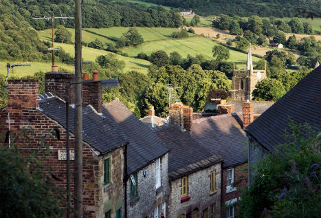
Make a break of it and stay over in the beautiful market town of Wirksworth, gateway to the Peak District.
Centrally located in Derbyshire, the railway is easy to find whether you are planning to come by car, by train or by bus.
How do you plan to travel?
How are you getting here?
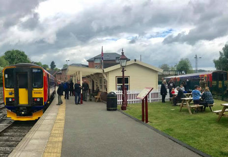
Wirksworth Station
Wirksworth Station has a large free car park on site.
Postcode for your SatNav: DE4 4FB
From Derby, leave the A38 at the junction with the A6 and travel northbound towards Duffield. At the traffic lights on the A6 in Duffield, turn left onto "Broadway". Follow the road for approximately 9 miles until you come to Wirksworth Market Place. Turn right by The Red Lion Hotel on to "Coldwell Street". The railway is around 50 yards down the hill on the left.
From Bakewell and Matlock, follow the A6 southbound to Cromford. At the busy traffic lights just after the mill shops, turn right onto "Cromford Hill". Come up the hill around 2 miles into Wirksworth and as the Market Place appears, turn sharp left at The Red Lion Hotel onto "Coldwell Street". The railway is around 50 yards down the hill on the left.
From Ashbourne, follow the B5035 around Carsington Water reservoir. At Godfreyhole, turn right and follow the lane. It is quite steep and not suitable for HGVs. The lane brings you to the side of Wirksworth Market Place. Take a left and then immediately right onto "Coldwell Street" by The Red Lion Hotel. The railway is around 50 yards down the hill on the left.
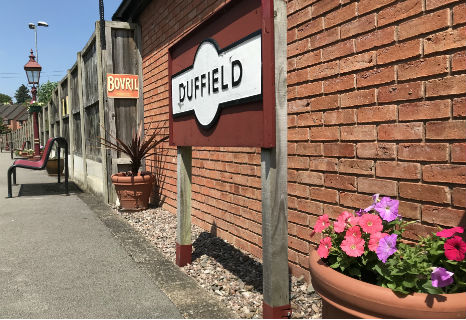
Duffield Station
Duffield Station has a smaller car park which is not suitable for larger vans and campers.
Postcode for your SatNav: DE56 4EQ
From Derby, leave the A38 at the junction with the A6 and travel northbound towards Duffield. As you come into the village with the shops on the left, turn right opposite the fish and chip shop onto "Chapel Street". The railway's car park is on the end of "Chapel Street".
Duffield Station
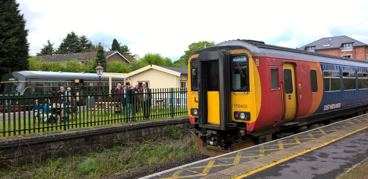
Duffield Station is an interchange with main line rail services operated by East Midlands Railway. Main line services operate to Duffield on the service which runs between Matlock, Derby, Nottingham and Newark Castle. The service is hourly on weekdays and Saturdays with a reduced timetable on Sundays.
Wirksworth Station
Trent Barton buses "sixes" 6.1 serve the town of Wirksworth hourly from Derby, hourly from Bakewell and half hourly from Matlock and Matlock Bath. The on board announcements will tell you when to leave the bus. Walk down "Coldwell Street" approx 50 yards to the railway.
Starting at the end of May 2023, the Stagecoach X17 bus will now terminate in Wirksworth too providing a better bus connection to the railway from the north. Travel direct to Wirksworth from Barnsley, Sheffield and Meadowhall.
Duffield Station
Trent Barton buses "sixes" services operate every 10 minutes on weekdays and Saturdays between Derby and Belper calling at Duffield. The on board announcements will tell you when to leave the bus. Follow the road sign for the railway station. Duffield is also served by High Peak buses "transpeak" service.
Accessibility
We would love for everyone to have an enjoyable visit. Check our Accessibility Guide.
Useful Links
Need more public transport information?
EVR Newsletter
Keep up to date with all the latest news, events and special offers...
Contact Us
Ecclesbourne Valley Railway
Wirksworth Station
Station Road
Coldwell Street
Wirksworth
DE4 4FB
United Kingdom
Enquiries and Information:
T: 01629 823076
E: [email protected]

![]()
![]()
![]()